
Existing and proposed terrain
Visualize the surveyed land alongside proposed grading, driveway alignments, and building areas. See how each part of the site connects.
EXPLORE THE LAND. UNDERSTAND THE OPTIONS.
See how driveway grades, building areas, side slopes, and retaining strategies shape a hillside. Try the free interactive sample, then explore a Site Study for your property.
Already a client? Open the Client Portal ↗
FROM SURVEY TO SITE VISION
Watch survey contours become a 3D terrain study, with driveway access, a fire turnaround, and an elevated ADU. Compare how grading and retaining strategies affect cut and fill.
Try the interactive sample without signing in. For your own property, start with a scoped Conceptual Site Study.
Explore the Free DemoSurvey contour lines rise into a colored hillside terrain model. A driveway and turnaround appear, followed by an elevated ADU. Two grading options compare cut and fill while the road elevation and edge-wall allowance change. The camera moves closer to the proposed home and access before the closing invitation: “Send us your topographic survey.”
The displayed options use 2:1 side slopes. Option A shows approximately 2,704 cubic yards of cut and 1,406 cubic yards of fill. Option B raises the road by up to 1.5 feet and allows 6-foot edge walls, showing approximately 707 cubic yards of cut and 1,188 cubic yards of fill. These are conceptual model quantities, not a construction estimate; building foundation excavation is excluded. Edge-wall allowance is a design control, not a maximum height for every wall on the site.
Architecture and intermediate transitions are illustrative. The study does not establish fire-access approval, slope stability, structural design, or guaranteed construction savings.
FROM SURVEY TO SITE STRATEGY
Engineering tools that help owners and their design teams see the same picture.
Visualize the surveyed land alongside proposed grading, driveway alignments, and building areas. See how each part of the site connects.
Study steep driveway design and grade transitions in profile. Coordinate fire access driveway design, turnouts, and turning areas with the responsible agency’s requirements.
Compare 3:1, 2:1, and 1.5:1 side-slope concepts. Evaluate retaining-wall strategies to understand the tradeoff between slope footprint, wall height, and earthwork.
See where soil is removed or added, estimate earthwork quantities, and explore earthwork balancing. Look for opportunities to reduce hauling and unnecessary excavation.
Study building elevations, access, and transitions to surrounding ground. Coordinate the grading approach with the architecture, including homes and ADUs on challenging terrain.
Identify high walls, deep cuts, steep access, and difficult tie-ins early. Compare alternatives while there is still time to adjust the layout.
A TOOL FOR BETTER CONVERSATIONS
A shared view of the land makes engineering choices easier to understand.
Yes. Open the free public demo without an account. It uses a sanitized sample site. Actual client studies remain in the private client portal.
The video shows a conceptual study. Actual design uses your survey, architecture, geotechnical recommendations, drainage needs, and reviewing agencies’ criteria. The study does not verify fire access, slope stability, drainage performance, or structural wall design.
The model compares existing and proposed surfaces. Video quantities are conceptual and exclude building foundation excavation. A construction estimate also needs allowances for stripping, pavement, wall excavation, shrink/swell, and soil suitability. Project estimates depend on the survey, modeling scope, and design detail.
It can help identify opportunities. We compare grading options, driveway geometry, and building elevations to reduce unnecessary walls and soil movement where feasible. The most practical solution depends on site constraints and construction pricing.
Send your topographic survey, preliminary building or ADU layout, and a few notes about your priorities. Include available soils information and agency comments. Send your survey to YCG.
CONNECT THE MODEL TO THE DESIGN
Explore our hillside grading and earthwork services, residential grading and drainage plans, and ADU civil engineering.
SELECTED SITE STUDIES
Explore residential and hillside studies through the YCG technical sketch style. Simple linework and shadows bring terrain, access, and building relationships into focus.
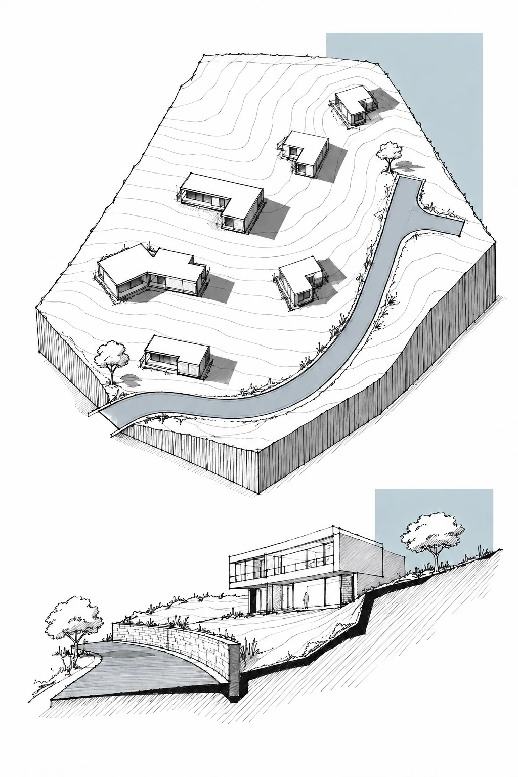
Shared access and homes arranged across a sloping site.
View illustration (opens a new tab)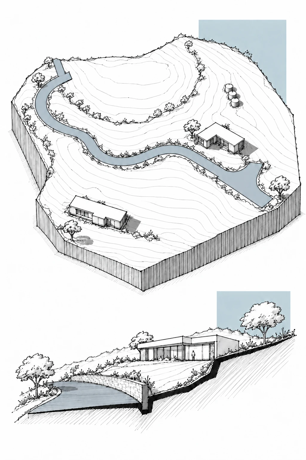
A hillside residence connected by a curving access drive.
View illustration (opens a new tab)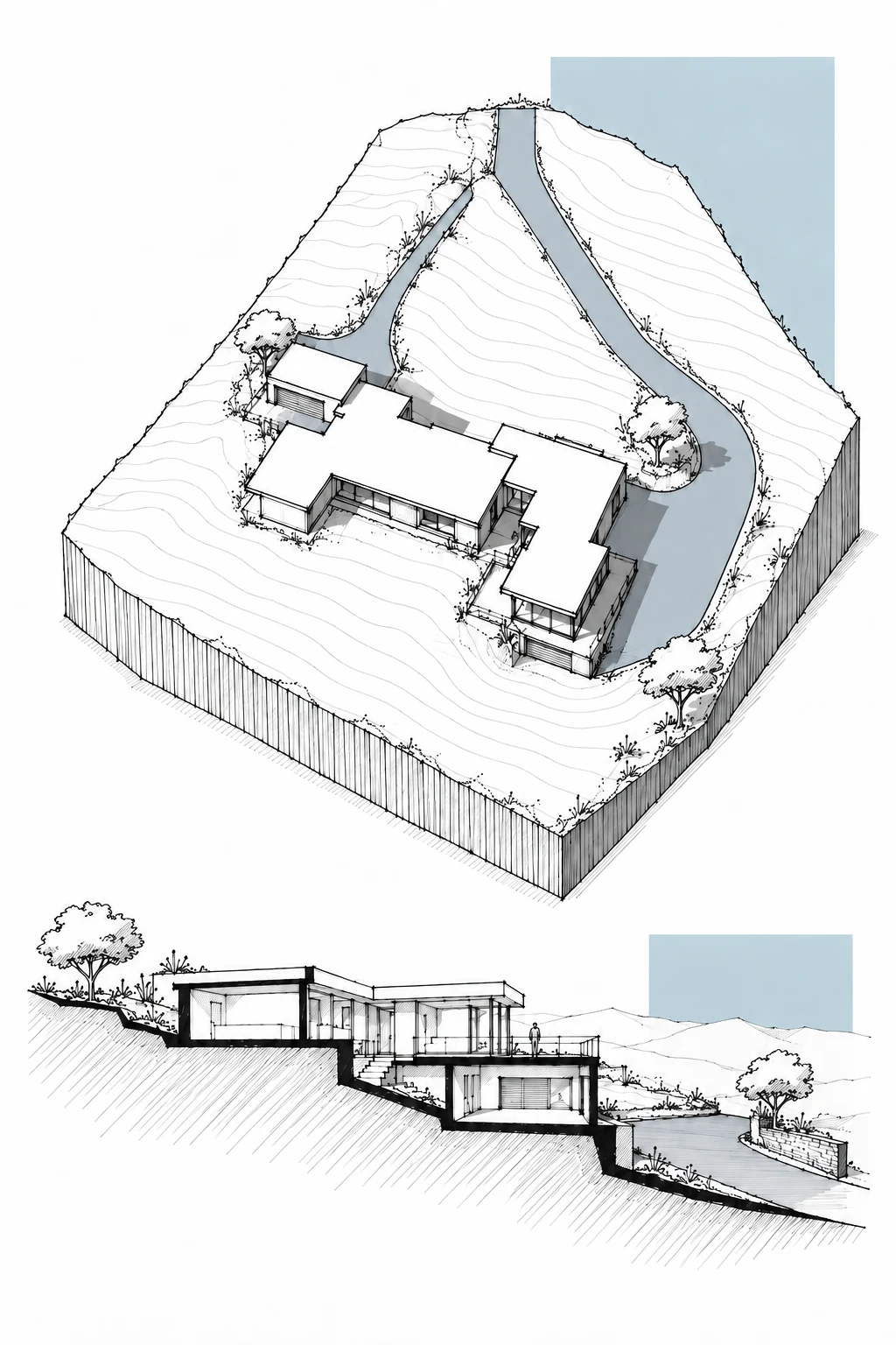
Building massing and garage access stepping with the terrain.
View illustration (opens a new tab)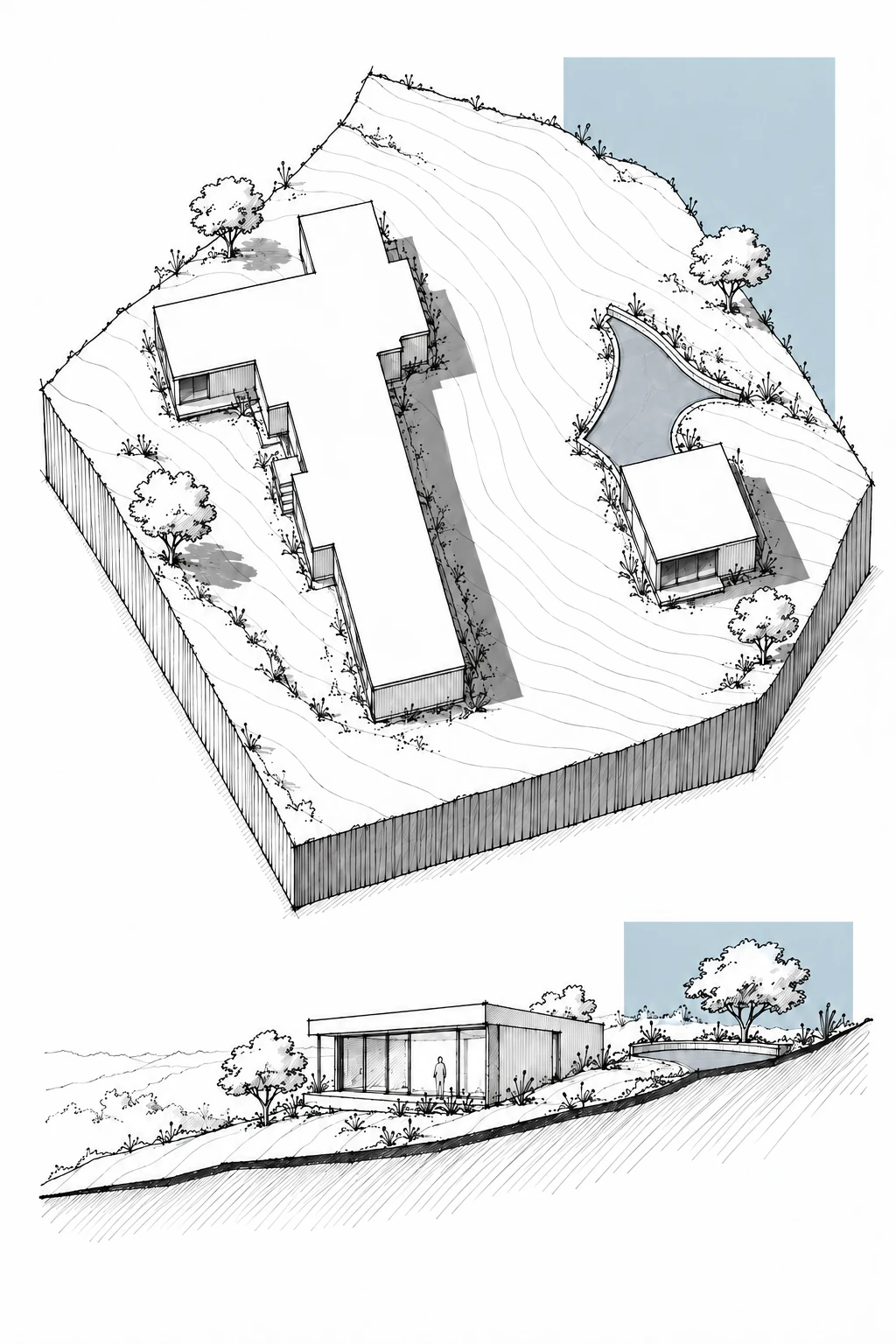
A compact addition to an established residential site.
View illustration (opens a new tab)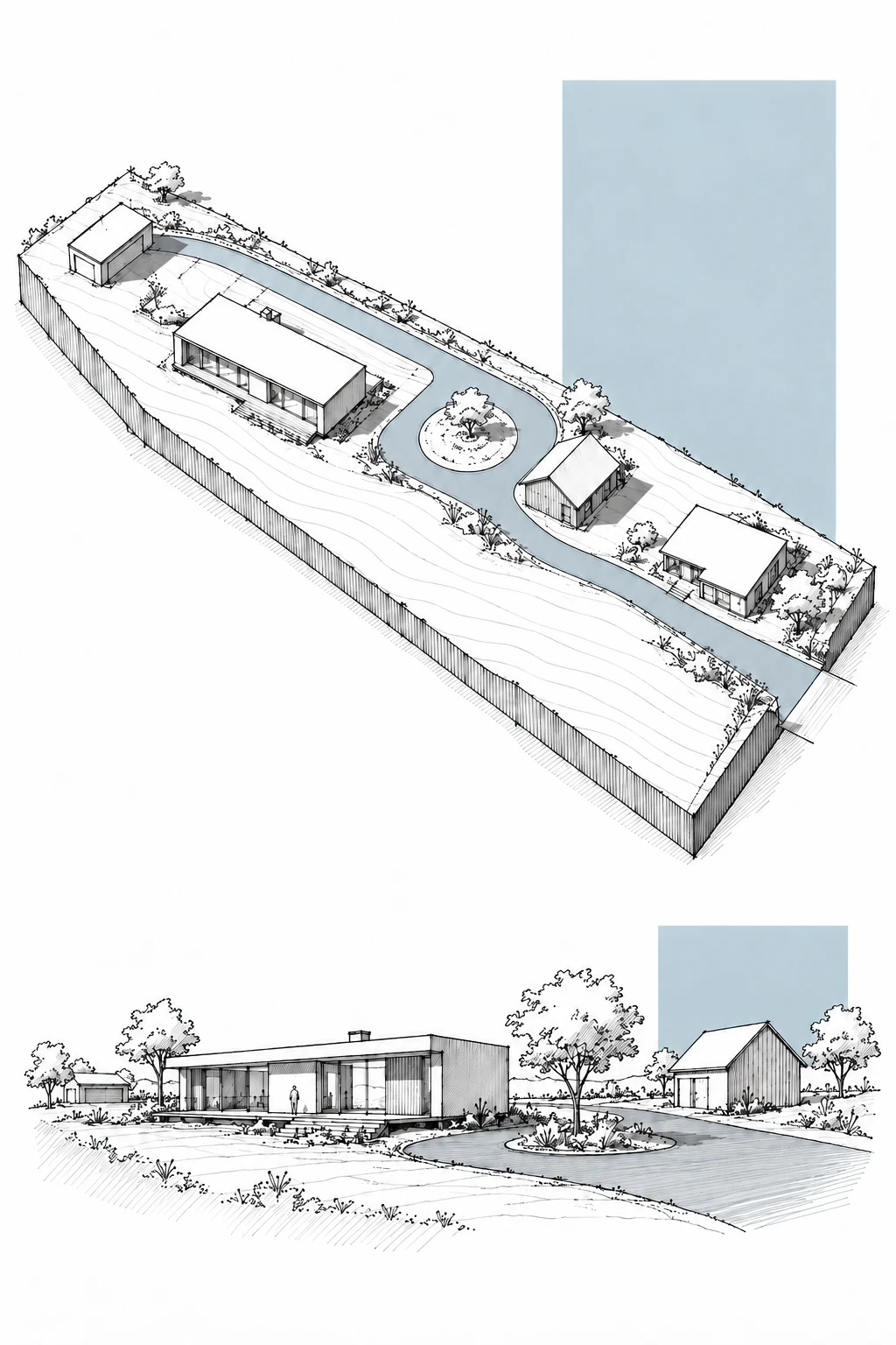
Buildings and circulation organized around a turnaround.
View illustration (opens a new tab)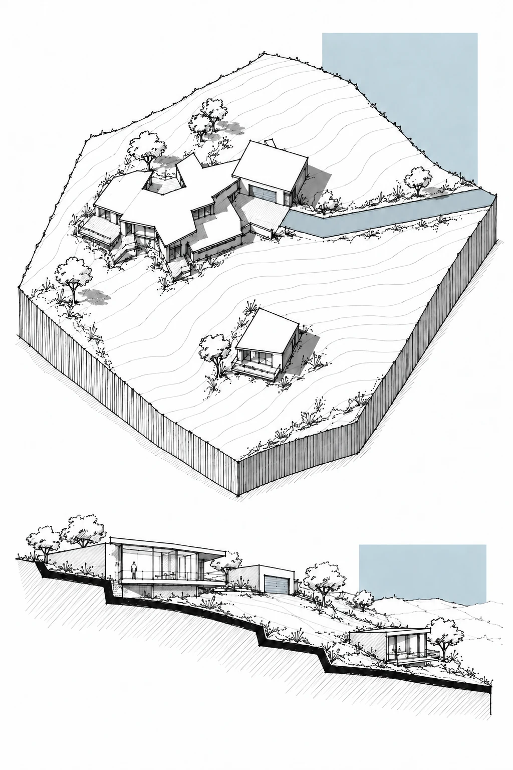
An upper residence and a smaller building set downslope.
View illustration (opens a new tab)FROM THE GROUND UP
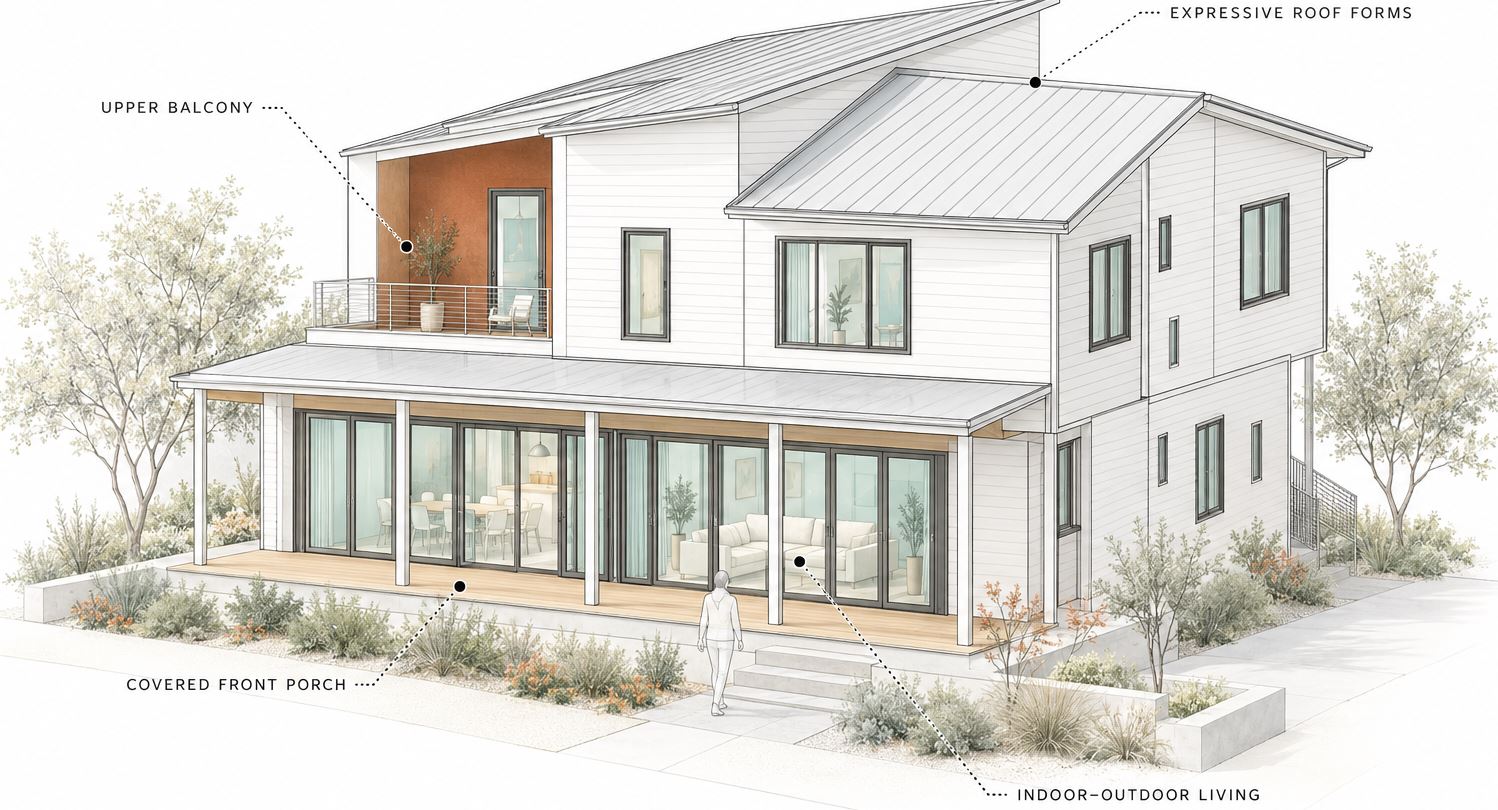
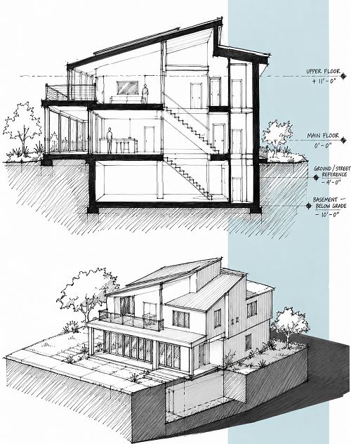
Exterior studies and cutaway sections make the relationship between a home and its site easier to discuss. These illustrations communicate concepts; they are not permit or construction drawings.
YCG SITE INTELLIGENCE
Explore the free example, then ask YCG about a preliminary study for your own property. We check public-data coverage before confirming a study.
EXPLORE
Free
Explore terrain, contours, concept building placement, grading and drainage in an example study.
Explore Site Intelligence ↗Try the Terrain Studio demo ↗YOUR PROPERTY
$500
A preliminary study using suitable publicly available site information.
The $500 fee can be credited toward a YCG civil engineering contract.
Start My Site Study ↗ENGINEER REVIEW
Custom proposal
Engineer-reviewed site analysis, survey-based studies, complex alternatives, detailed calculations and permit design are scoped for your project.
We check data availability and confirm the scope before payment. Preliminary public-data studies are not boundary or topographic surveys, permit designs, or guarantees of approval. Survey acquisition, geotechnical and structural work, and final engineering are separately scoped.